
 OMM Newsroom

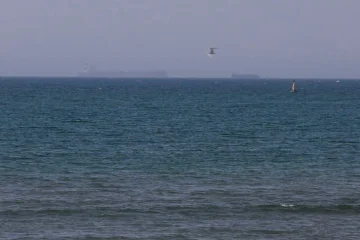
An oil spill from a tanker struck near the Strait of Hormuz is spreading along the United Arab Emirates coastline, prompting the closure of some beaches and coastal areas, according to the BBC.
Satellite images taken on Monday showed the start of a spill from a ship whose location and dimensions matched those of Gem No.2, damaged between 9 and 10 October during a record surge in vessel strikes by Iran. By Wednesday, the slick had spread more than 35km (22 miles) from the tanker, the imagery showed.
UAE authorities said on Thursday that the incident was affecting beaches near the northern city of Umm Al Quwain. Verified video from Friday showed oil washing ashore and turning the water black.
The UAE Ministry of Climate Change and Environment said it had “immediately began containment” to “limit environmental impacts”.
Steve Widdicombe, director of the Sharjah Marine Science Research Centre, told “BBC Verify” that an impact was “inevitable”, but said it was too early to assess the extent of the damage.
A much smaller leak was initially visible coming from the ship on 19 October. Radar satellite imagery reviewed by “BBC Verify” and intelligence firm “MAIAR” suggests the slick then spread rapidly over two days.
Oil spills can kill marine animals and other organisms, including by trapping turtles, smothering seabirds’ feathers or damaging fish gills. Longer-term harm is also possible if species remain exposed to toxic compounds in the oil, which could affect their ability to reproduce, Widdicombe said.
Researchers cautioned that the environmental impact remains uncertain. It depends on factors including the amount and type of oil spilled, how quickly it evaporates or breaks down, and the effectiveness of the clean-up operation.
The spill extends towards Siniyah and Khor Al Beidah islands, a globally recognised Key Biodiversity Area with coral, seagrass and saltmarsh habitats. Species in the area include green turtles and the critically endangered Halavi guitarfish.
Eoghan Darbyshire, a scientist at the Conflict and Environment Observatory, called the spill’s proximity to the area the “most concerning environmental angle”.
Gem No.2 was struck on 9 October
An analysis by “BBC Verify” found that the ship’s dimensions and location matched those of Gem No.2, a crude oil tanker. Maritime intelligence firm “Vanguard” reported that the Panama-flagged vessel was “struck by an unknown projectile” on 9 October, just north of Al Jazeera Al Hamra. The strike caused a fire on board, which was later extinguished.
Verified footage first posted on social media on 10 October showed crew members running across the deck and putting on lifejackets as a large cloud of black smoke rose from the ship.
Iranian state media published footage of a vessel matching Gem No.2 that appeared to show it on fire, with burning oil spilling into the sea. The media said the ship had been attempting to leave the Strait of Hormuz via an “unauthorized and dangerous route”.
All 22 Indian crew members were rescued, the Indian consulate in Dubai said on 11 October.
Gem No.2 was among a record number of ships reporting attacks in and around the Strait of Hormuz at the start of October. Security experts told “BBC Verify” the attacks were part of an Iranian effort to assert greater control over the strait in response to the US military successfully escorting more vessels through the vital shipping lane.
Tankers and other commercial vessels have been attacked by both Iranian and US forces in and around the Strait of Hormuz amid the conflict between the two countries.
In August, another major oil slick reached the shores of Iran’s Qeshm Island. Experts said it threatened wildlife, protected ecosystems and fishing communities.