
 Afət Ziyadqızı

The Islamic Revolutionary Guard Corps (IRGC) has released a new map detailing its maritime operations.
Operative Information Center-OMM reports that the navy of the Islamic Revolutionary Guard Corps (IRGC) has presented a new map encompassing the Strait of Hormuz region.
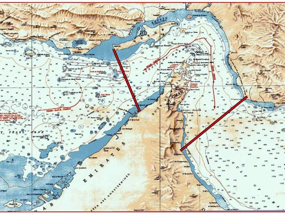
According to the statement, the designated area extends from Iran's Kuh-e Mubarak region to the south of the Fujairah region in the United Arab Emirates (UAE). The map further illustrates a secondary line established between Qeshm Island and the UAE's Umm al-Quwain region. It was noted that the presented map serves as a representation of Iran's military control zone around the strategic Strait of Hormuz.
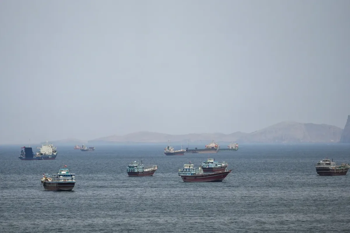
The Strait of Hormuz is recognized as one of the world's most vital maritime chokepoints, serving as a primary transit route for global oil supplies. Approximately one-fifth of the world's total oil consumption passes through this narrow waterway daily. The release of such maps by the IRGC is often viewed by international analysts as a demonstration of Tehran's strategic influence and its capacity to monitor and regulate maritime traffic within the Persian Gulf and the Gulf of Oman.