
 OMM Redaksiyası

Hurricane Polo has rapidly intensified off the coast of Mexico into a rare category 5 storm, with sustained winds of nearly 180 mph (285 km/h), according to Reuters.
A Hurricane Hunter aircraft operated by the US National Oceanic and Atmospheric Administration (NOAA) flew into the storm on Tuesday and recorded the wind speeds, along with stronger gusts.
NOAA’s National Hurricane Center in Miami described Polo as “extremely dangerous” and said its intensification over a 24-hour period was “truly remarkable”.
Storm expected to skirt Mexico’s Pacific coast
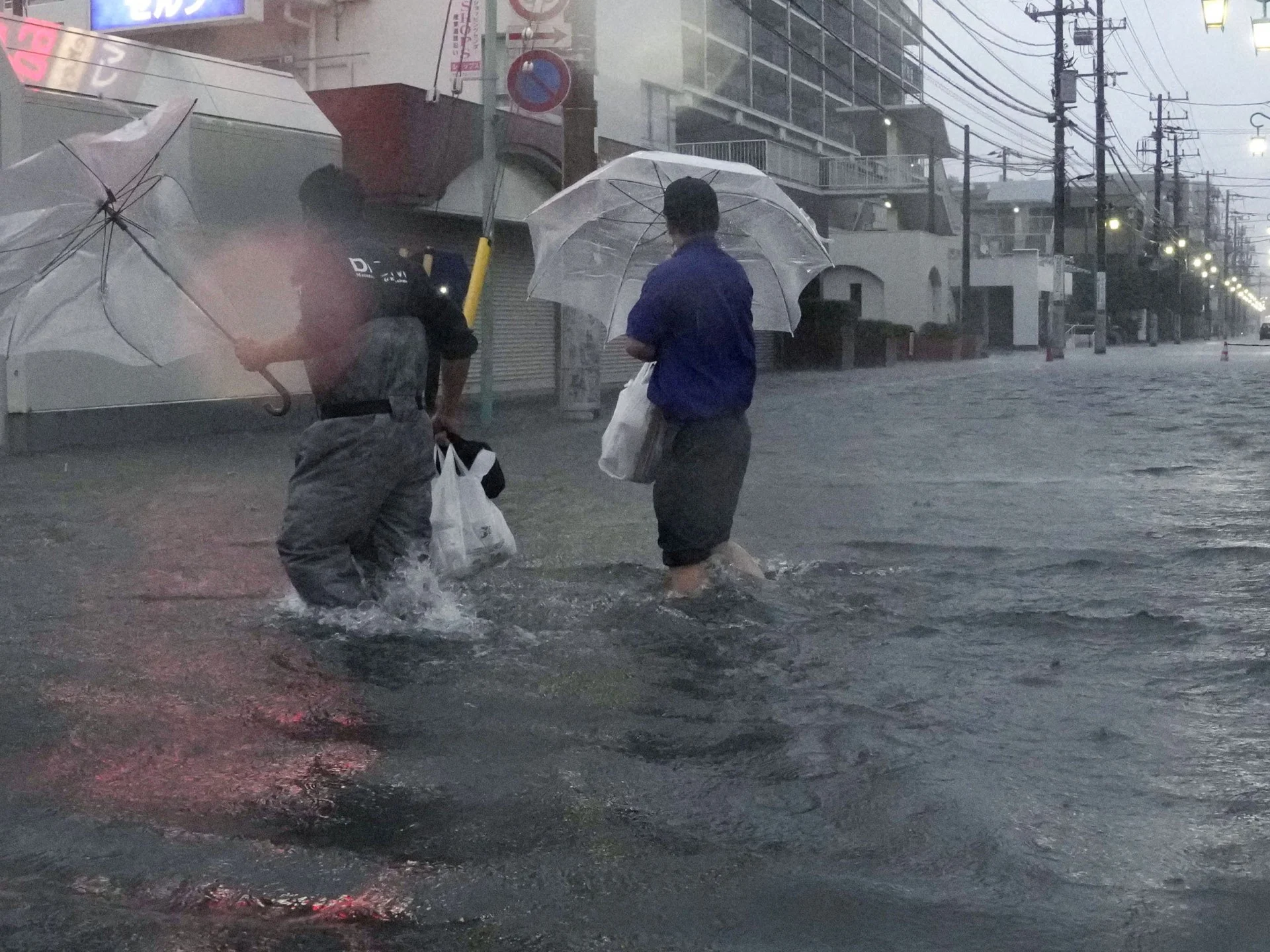
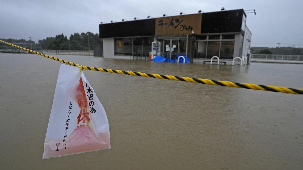
Polo is forecast to move slowly northwest and pass near Mexico’s southwestern coast without making landfall. However, NOAA warned that the storm could bring torrential rain, deadly flooding and mudslides to parts of the region.
Rainfall totals of up to 6 inches (15 centimetres) are expected, while some areas could receive as much as 8 inches. Residents have also been warned about large ocean swells and life-threatening surf conditions in the coming days.
“So far, the information we have is that (Polo) will not make a direct landfall on the coast,” Mexican President Claudia Sheinbaum said on Tuesday, while urging people along the Pacific coast to remain vigilant.
She identified the states of Jalisco, Colima and Michoacan as being at risk.
Extremely warm waters fuel intensification
Data collected by the Hurricane Hunter aircraft indicated that Polo could strengthen further and remain a category 5 storm for several days. NOAA said the storm was developing in a “very conducive” environment, with exceptionally warm ocean waters supplying additional energy.
Polo is the third category 5 storm of the season, the highest level on the Saffir-Simpson hurricane scale.
Scientists monitoring ocean temperatures say the current El Niño climate phenomenon is the strongest on record. Daily sea-surface temperatures in a key area of the central-eastern Pacific reached 3.05C above average on 19 September, surpassing the previous record of 3.02C set during the powerful 2015 El Niño.
Some longer-term El Niño measurements have not yet reached record levels, but scientists expect that to change before the phenomenon peaks later this year.
Warmer ocean waters can provide storms with more energy, increasing wind speeds. El Niño occurs naturally every two to seven years and usually lasts about a year, weakening or reversing Pacific trade winds and allowing warm water to spread eastward.