
 OMM Redaksiyası

A Palestinian commission has warned that an Israeli plan to reopen Route 463 for Israeli settlers could isolate eight villages and two major residential neighbourhoods in northern Ramallah and Al-Bireh from areas to the south.
According to the commission, the road passes through the urban area of Ramallah and Al-Bireh in the central occupied West Bank, dividing its northern and southern sections.
The proposed measure would force tens of thousands of Palestinians to use an older alternative road near the Jalazone refugee camp, which is already heavily congested and unable to accommodate additional traffic, the commission said.
Commission warns of wider territorial fragmentation
The commission said it did not regard the reopening of Route 463 as an isolated move, describing it instead as part of broader changes across the Ramallah and Al-Bireh governorate.
It said the plan formed part of a systematic policy aimed at fragmenting Palestinian geographic and demographic continuity in the governorate, which is home to about 400,000 Palestinians living across approximately 80 communities.
The area already faces fragmentation caused by Area C, Israeli settlements, bypass roads, military checkpoints and gates, alongside growing restrictions on Palestinian movement, the commission added.
Under the 1995 Oslo II Accord, the West Bank was divided into Areas A, B and C as a temporary arrangement. Area A is under full Palestinian control, Area B is under Palestinian civilian control and Israeli security control, while Area C, covering about 60% of the West Bank, remains under full Israeli control.
Pressure to reopen Route 463 has increased
The commission warned that reopening the road for Israeli settlers would be another step towards de facto annexation and the separation of Area C from its vital Palestinian geographic links.
Route 463 was built in 1994 to connect the Israeli settlements of Beit El and Dolev, according to the commission. After the Second Intifada began in 2000, the Israeli army temporarily prohibited both settlers and Palestinians from using parts of the road, citing security reasons.
Pressure from settlers to fully reopen the route has increased in recent months, the commission said. Settlers have held protests along parts of the road, carrying Israeli flags and organising events near Palestinian areas under the protection of Israeli forces.
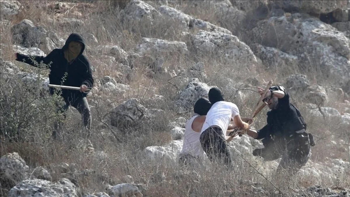
On Sept. 8, settlers blocked a roundabout near the Ein Ayoub area, close to Ras Karkar village, and threw stones at Palestinian vehicles, damaging at least one of them, the commission said.
The incident came amid an escalation in settler attacks targeting Palestinians and their vehicles on roads across the Ramallah and Al-Bireh governorate, alongside Israeli military restrictions on movement.
The governorate has an extensive road network linking its towns and villages with the main urban centre. Since October 2023, the closure of military checkpoints, gates and major roads has increasingly forced Palestinians to use secondary and alternative routes to travel between communities.