No reports of damage or casualties have been received by the Ministry of Emergency Situations following the earthquake that occurred in Shamakhi.
The ministry provided this official statement to the Operative Information Center-OMM, confirming that emergency teams are monitoring the situation in the region.
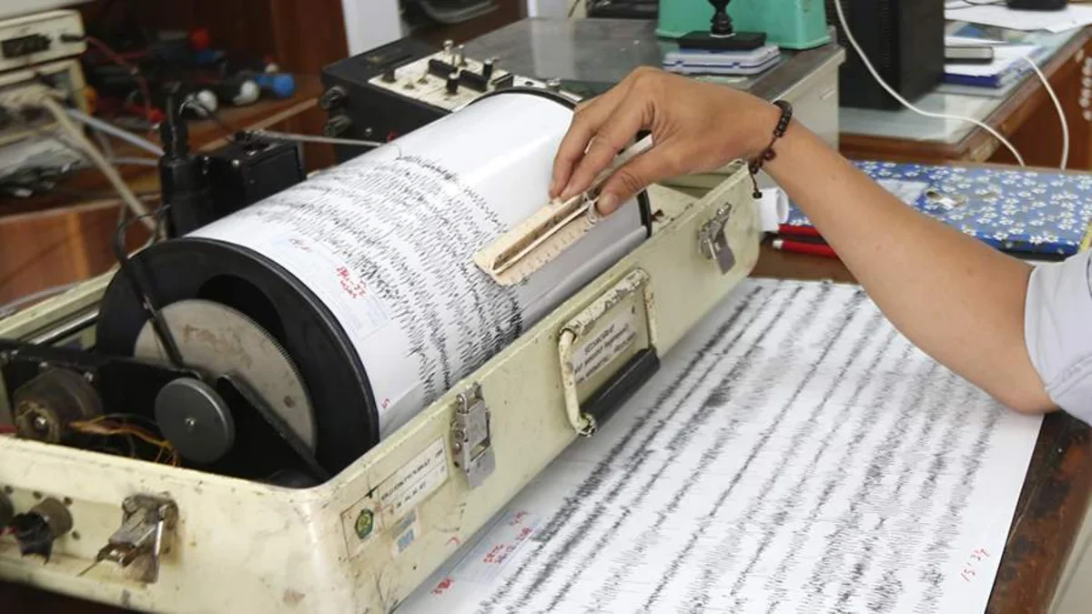
A second seismic event was recorded in the area shortly after the initial tremor. According to the Bureau of Earthquake Research of the Republican Seismic Survey Center, another underground tremor with a magnitude of 3.3 occurred at 16:05 local time. The earthquake's focus was located at a depth of 10 kilometers.
The first and stronger tremor in the Shamakhi district was recorded at 15:52 local time, measuring 4.7 magnitude. With a focal depth of 13 kilometers, the earthquake was felt at a strength of 5 points at the epicenter and nearly 3-4 points in the surrounding districts of Azerbaijan.
Shamakhi is located in a seismically active zone of the Greater Caucasus. Historically, the region has experienced significant seismic activity, most notably the devastating earthquake of 1902. Azerbaijan's Republican Seismic Survey Center continuously monitors the country's territory via a network of digital stations to ensure public safety and provide early warnings for seismic events.