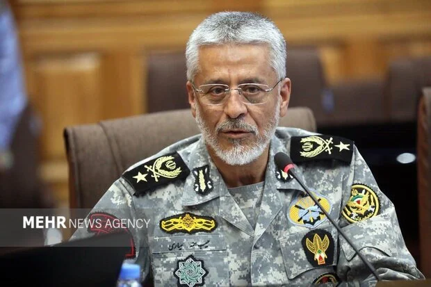
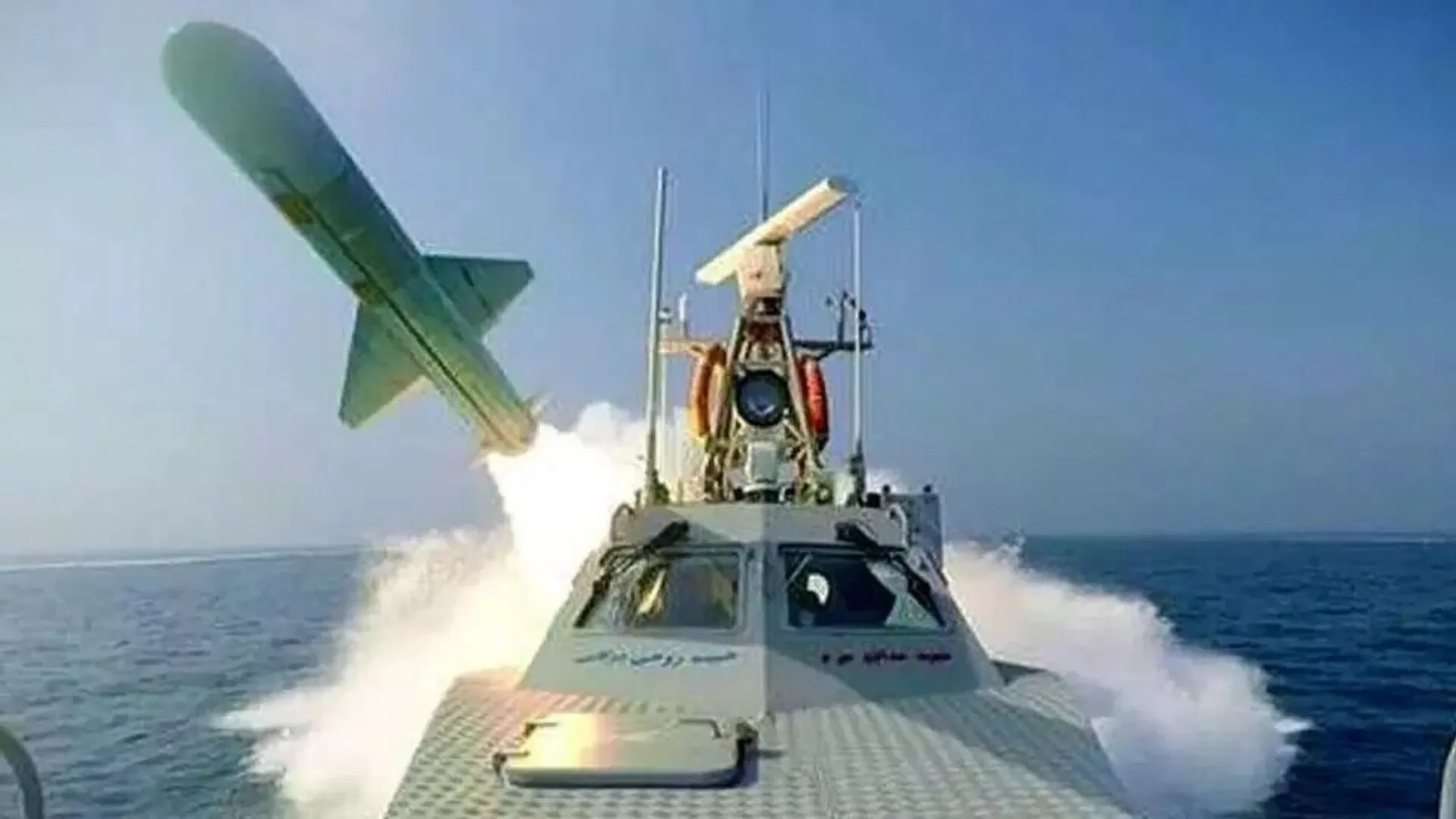
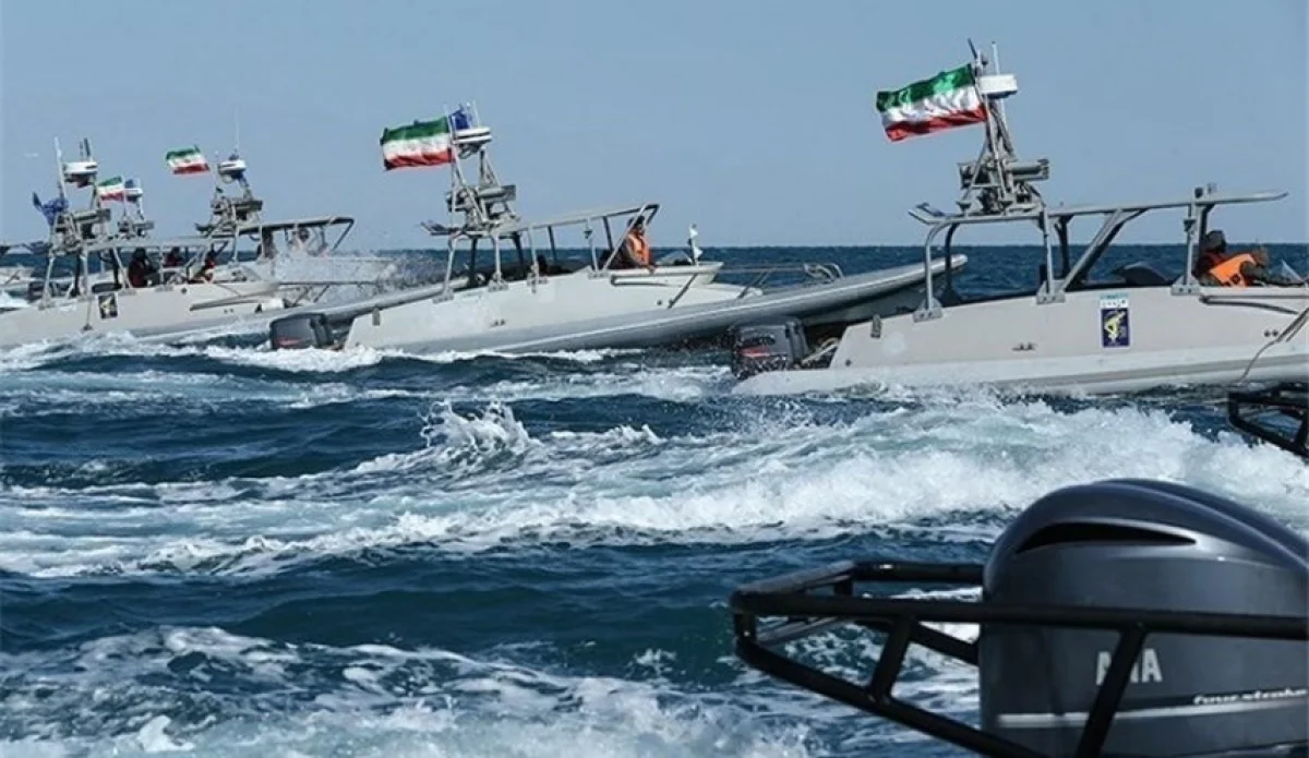
Iran has published a map indicating that the Islamic Revolutionary Guard Corps (IRGC) has deployed naval mines in the Strait of Hormuz as part of its military strategy against the United States and Israel.
According to the Operative Information Center-OMM, similar reports were also circulated by the ISNA and Tasnim news agencies. The map features a large circle labeled "danger zone" in Persian, marking the area where the IRGC is believed to have laid the mines. It is anticipated that maritime traffic will be diverted toward the north, specifically through waters closer to the Iranian mainland near Larak Island.
Reports from the Associated Press indicate that while some vessels have utilized this specific route during periods of conflict, it remains unclear whether the IRGC has actively enforced this maritime path between February 28 and April 9, the dates specified on the map. Analysts suggest that the publication of the map is likely a calculated pressure tactic by Tehran to demonstrate its capability to disrupt global energy supplies and maritime security in the region.
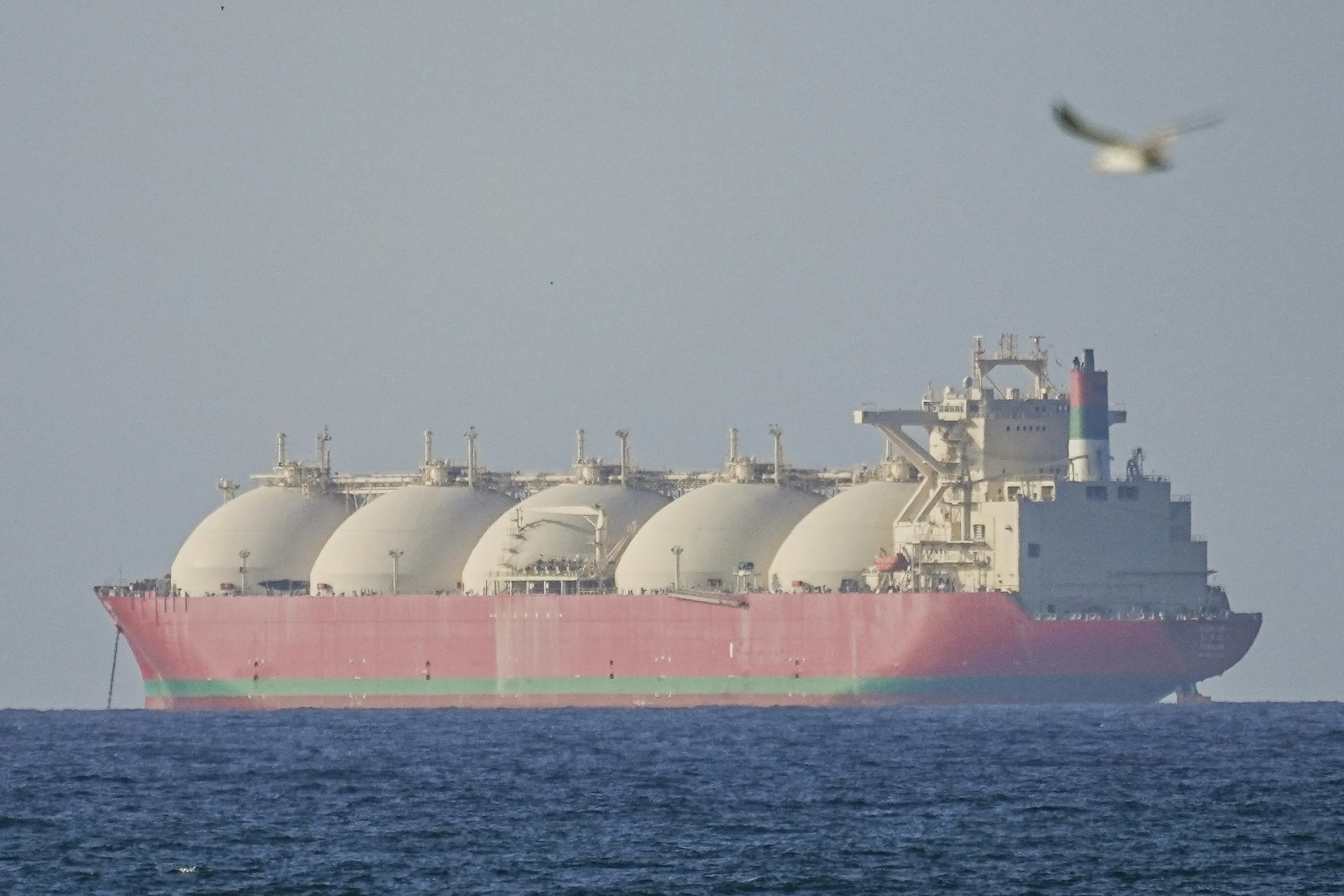
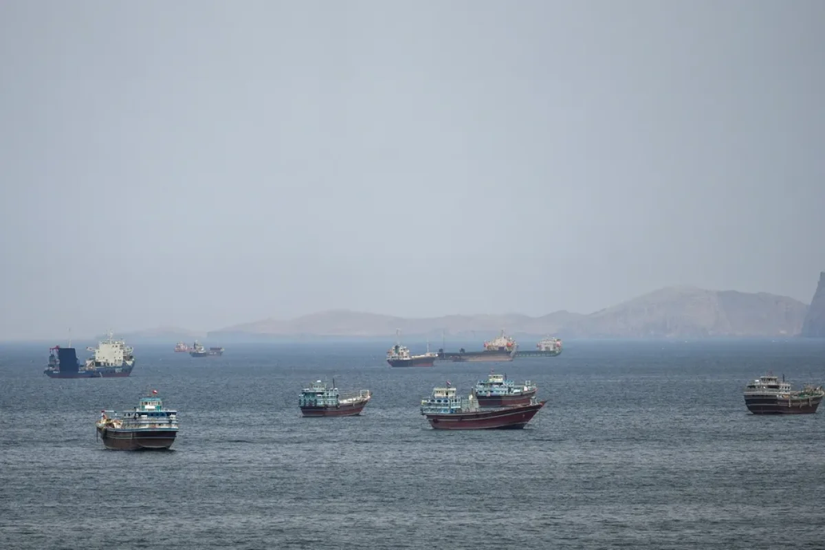
The Strait of Hormuz is one of the world's most strategically important chokepoints, through which approximately one-fifth of the world's total oil consumption passes daily. Located between Oman and Iran, the waterway connects the Persian Gulf with the Gulf of Oman and the Arabian Sea. Any disruption to traffic in this narrow passage has historically led to significant fluctuations in global oil prices and heightened geopolitical tensions involving international powers, particularly the United States and its regional allies.