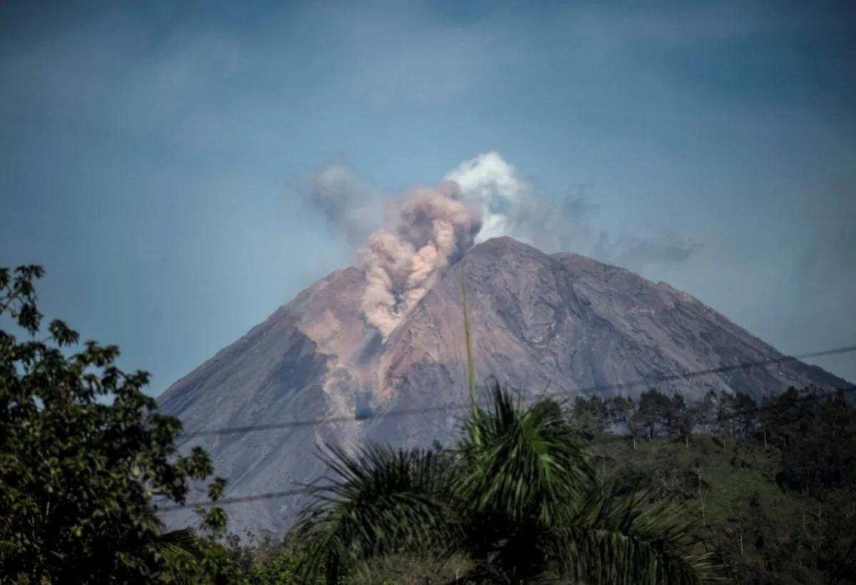
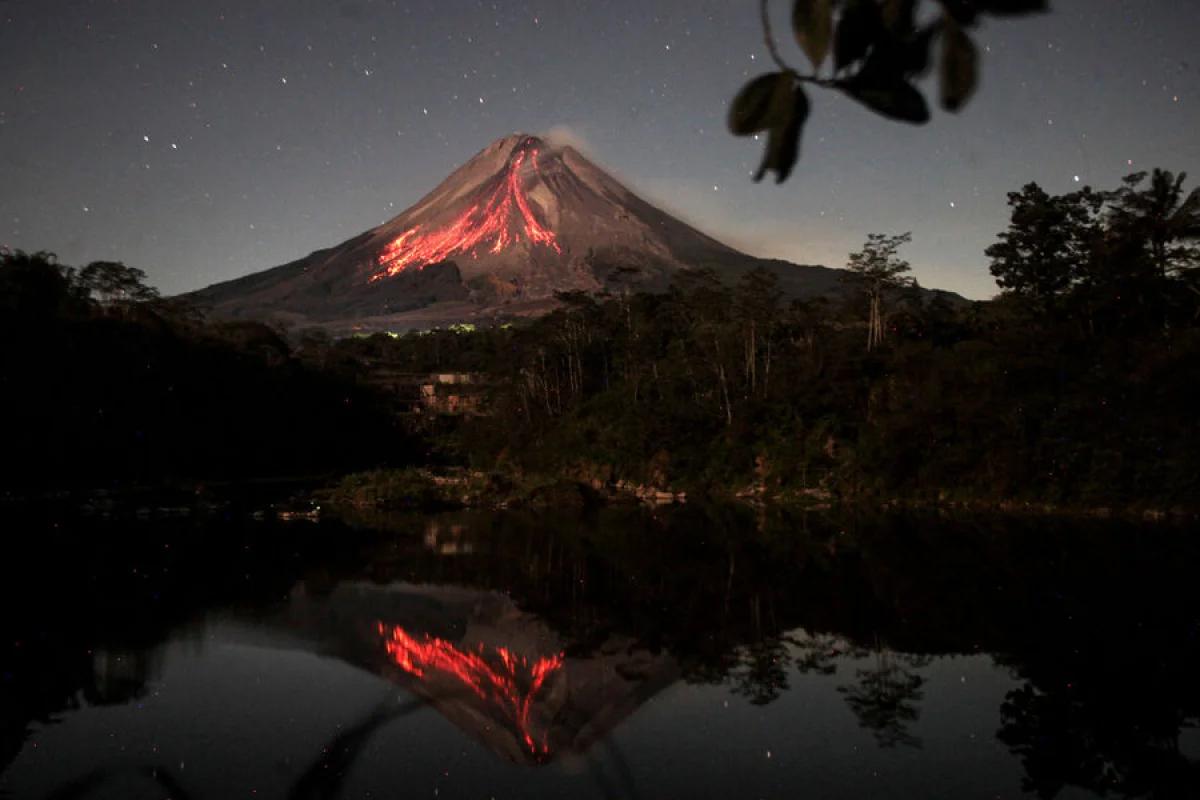
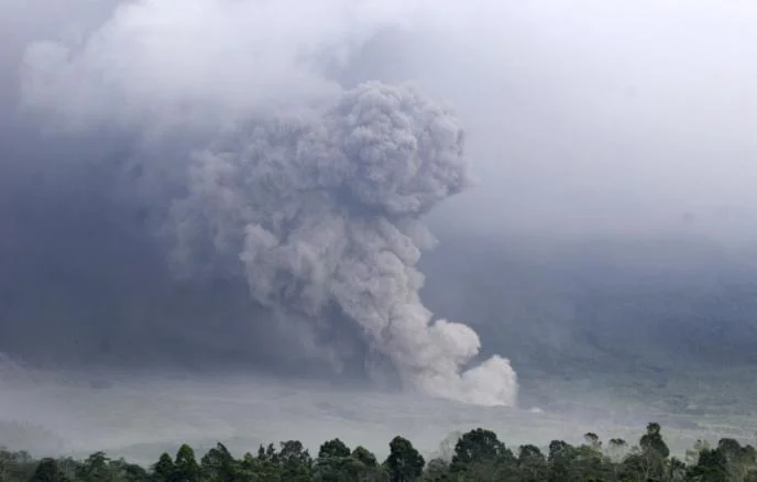
The Semeru volcano, located in the East Java province of Indonesia, has erupted, sending a massive column of ash into the atmosphere.
The Operative Information Center-OMM, citing observation data from the Jakarta Globe, reports that the eruption produced an ash cloud reaching 1,100 meters above the crater, or approximately 4,776 meters above sea level. The volcanic plume is currently drifting southward with moderate intensity. In response to the activity, the Center for Volcanology and Geological Hazard Mitigation has issued a strict advisory, urging local residents and tourists to maintain a minimum distance of 8 kilometers from the crater due to the high risk of lava flows and pyroclastic density currents—hot mixtures of gas, ash, and rock fragments.
Standing at 3,676 meters above sea level, Mount Semeru is the highest peak on Java island and the fourth-highest volcano in Indonesia. The volcano is known for its frequent activity, often posing significant risks to the surrounding communities. Authorities continue to monitor the situation closely, as the potential for further seismic events remains high in the region.
Indonesia, the world's largest archipelago comprising over 18,000 islands, is situated along the Pacific "Ring of Fire," a zone characterized by intense tectonic activity. This geographical positioning makes the country highly susceptible to earthquakes and volcanic eruptions. Indonesia is home to more than 500 volcanoes, approximately 130 of which are classified as active, requiring constant surveillance by geological agencies to ensure public safety.