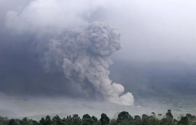
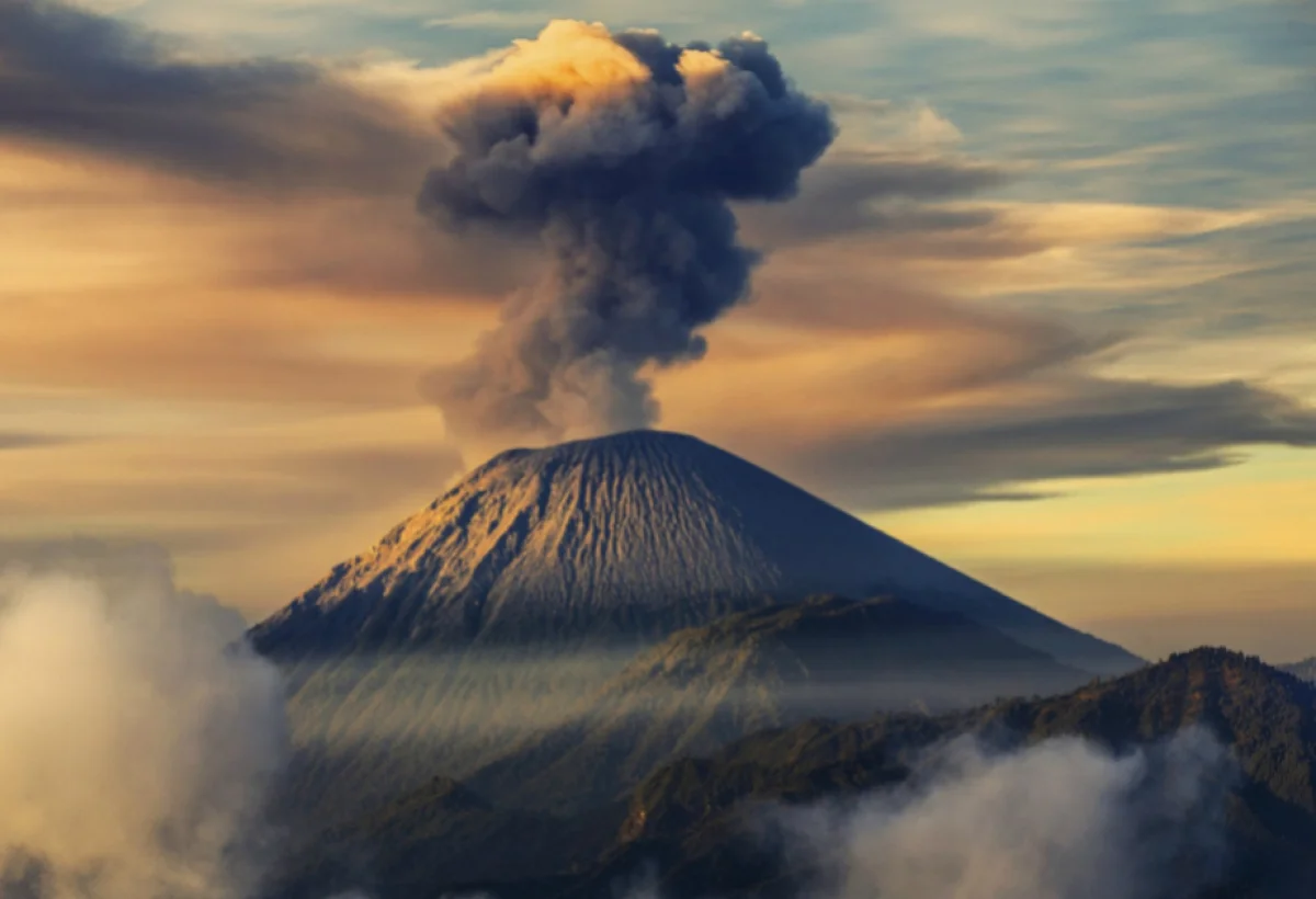
At least four consecutive eruptions have been recorded at Mount Semeru, located in Indonesia's East Java province.
Operative Information Center-OMM reports, citing the Antara news agency and data from the volcanic observation post, that the peak has entered a period of heightened activity.
According to official reports, the ash column generated during the eruptions rose 1,000 meters above the crater, reaching an altitude of 4,676 meters above sea level. Authorities have advised local residents and tourists to maintain a distance of at least 5 kilometers from the crater for safety reasons. This warning is linked to the high risk of incandescent rock fragments being ejected during the volcanic activity.
During the eruptions, dense clouds of white and gray ash were observed drifting primarily in a northeasterly direction. Mount Semeru, standing at 3,676 meters, is the highest peak on Java island and remains one of Indonesia's most active and dangerous volcanoes.
Indonesia is situated on the Pacific "Ring of Fire," a region of high seismic and volcanic activity where several tectonic plates meet. The country is home to nearly 130 active volcanoes, more than any other nation in the world. Mount Semeru has a history of devastating eruptions, including a major event in December 2021 that resulted in significant casualties and the displacement of thousands of residents in the surrounding Lumajang district.